Imagine starting your Saturday with a quick coffee on NW 23rd, then stepping onto a forest trail within minutes. If you love city convenience but crave quiet, mossy paths and canyon views, living near Forest Park can feel like the best of both worlds. In this guide, you’ll learn how trail access really works, what daily errands and commuting look like, the housing styles you’ll find, and the tradeoffs to weigh. Let’s dive in.
Forest Park at a glance
Forest Park is one of the country’s largest urban forests, spanning roughly 5,200 acres with more than 80 miles of trails. The signature Wildwood Trail runs about 30 miles through the park, linking a network of paths and firelanes that serve walkers, runners, and equestrians. Portland Parks & Recreation manages the park with support from the Forest Park Conservancy, which leads restoration and volunteer programs. You can review official park facts, rules, and updates on the city’s Forest Park page at Portland Parks & Recreation.
Trails and access points you’ll actually use
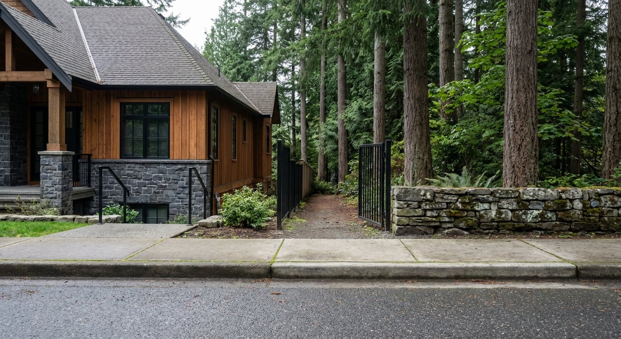
There are 40-plus public access points into the park, and they vary widely in parking, grade, and crowds. The south and lower trailheads near Washington Park, Macleay Park, and Pittock Mansion see the most visitors, while northern and upper entries along Skyline and Germantown are quieter but more car‑dependent. Popular everyday options include Lower Macleay to Wildwood and the loop up to Pittock Mansion for big city views. For suggested loops and current guidance, check the Forest Park Conservancy’s trail information and planning tips.
A few practical notes help shape daily routines:
- Lower Macleay and the Leif Erikson Drive access off NW Thurman are go‑tos for short runs, dog walks, and after‑work resets.
- Upper entries like Saltzman Road and Springville Road put you closer to longer, quieter miles but usually require a car.
- Weekend mornings can be busy at the most popular trailheads. Portland Parks posts updates and conditions on the Forest Park page, so check before you head out.
What uses are allowed
Forest Park prioritizes resource protection. Most trails are pedestrian only, and dogs must remain on leash. Motorized micromobility such as e‑bikes and scooters is generally not allowed except for approved mobility devices. Some firelanes and roads are open to equestrians. For mountain biking context and current access notes, consult the NW Trail Alliance’s Forest Park overview.
Getting around: transit, driving, and daily reach
Your exact block shapes your “city connected” experience. Lower slopes near NW 23rd and the Alphabet District offer stronger transit and walkable retail. Higher up on the West Hills, streets are steeper and winding, and transit frequency drops.
- Buses on the lower corridors make it easy to reach downtown and the Pearl. Line 15 serves the NW 23rd corridor and connects to central city destinations. You can review route details on TriMet’s Line 15 page.
- Additional routes serve Washington Park, Cornell, and Thurman, with options to connect to MAX at the Washington Park station. Service levels vary by time of day and location.
- Many residents higher on Skyline, Germantown, or upper Cornell rely more on private vehicles for errands and commuting due to terrain and distance from frequent service. Summaries of the Forest Park/Hillside area often reflect lower walk and transit scores compared to inner NW corridors, which supports this lived reality. For a general snapshot, see the Forest Park neighborhood overview on ApartmentFinder.
If you work downtown, common driving routes drop to NW 23rd or Burnside. If you commute to the west‑side tech corridor, expect a mix of surface streets and highway segments. Travel times swing with weather and time of day, so plan your route based on your exact address.
Everyday life: coffee, errands, and nearby culture
For most residents on the southern slopes, Nob Hill and NW 23rd act as the neighborhood living room. You’ll find cafés, independent grocery and natural‑foods options, casual restaurants, and boutique shopping along a compact, walkable spine. Slabtown and the Pearl sit just to the southeast for additional dining and services. For a district snapshot, browse Travel Portland’s Northwest neighborhood overview.
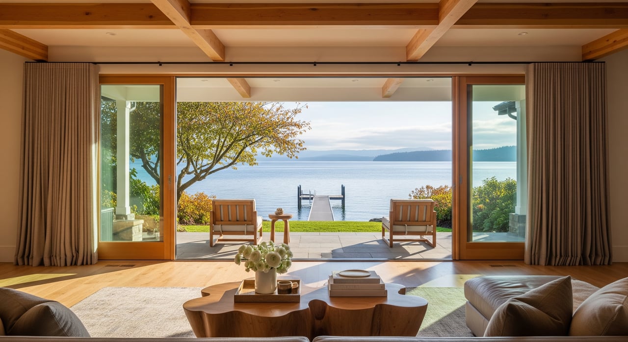
Nearby leisure anchors round out the lifestyle. Pittock Mansion’s grounds and viewpoint, Hoyt Arboretum, and the Washington Park complex, including the Japanese Garden, the Rose Test Garden, and the Oregon Zoo, are close enough for spontaneous visits. If you prefer a quiet morning under the fir canopy and an easy evening dinner in the neighborhood, this is where that rhythm works.
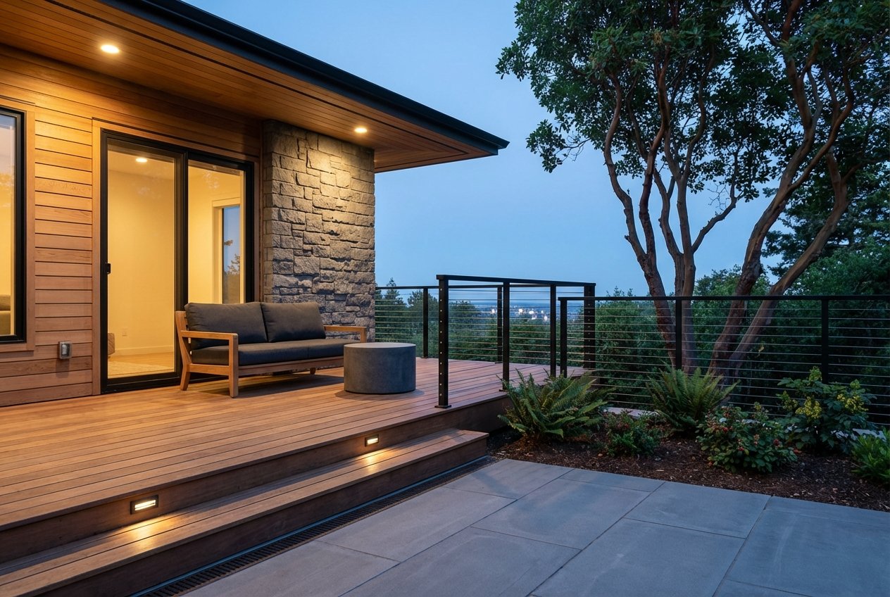
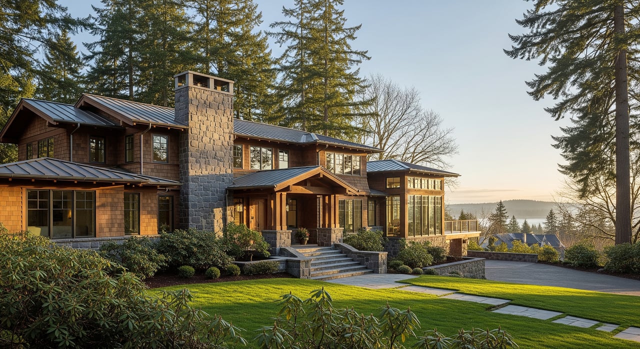
Housing styles near the park
Homes bordering Forest Park and the West Hills tend to be single‑family on hilly, wooded lots. You’ll see early‑20th‑century bungalows and Four‑Squares, mid‑century hillside designs, and newer high‑end remodels or contemporary builds that capture views and light. Closer to the base of the hills and NW 23rd, the mix shifts to smaller lots, historic multifamily buildings, and condos for a more walkable, urban feel.
Forest Park–adjacent properties often command a premium, especially where there is direct park adjacency, larger private lots, or strong city, valley, or mountain views. Aggregate neighborhood profiles report higher typical values than the citywide average. For a high‑level signal, see the Forest Park neighborhood snapshot on NeighborhoodScout. For exact pricing, you’ll want recent, address‑specific comps at the time you shop.
Key tradeoffs to weigh
Every great location asks for a tradeoff. Here are the common ones buyers weigh near Forest Park:
- Proximity vs. access: The closer you are to deep trails and views, the more likely your street is steeper with limited on‑street parking and less flat yard space. Plan for regular tree care, drainage management, and occasional winter weather access.
- Walkability vs. solitude: Lower slopes near NW 23rd offer walkable errands and frequent transit. Higher elevations trade some convenience for immediate forest access and quieter streets.
- Trailhead dynamics: Popular entries like Lower Macleay or Pittock can fill on weekends. If early runs are your routine, consider a block that lets you walk on or reach a quieter access point quickly.
How to choose the right block
Use this simple framework to test lifestyle fit before you buy:
Define your daily loop. Do you want a 20‑ to 40‑minute walk to a café, a grocery run, and a short trail segment, or do you prioritize 90‑minute runs in quiet forest from your doorstep? If you want both, focus on the lower slopes that stitch NW 23rd to Macleay and Leif Erikson access.
Map your trailhead. Many NW streets drop directly into trail entries. For example, blocks near NW Upshur and NW 29th place you a short walk from Lower Macleay, while addresses higher on Cornell or Skyline often trade foot access for immediate proximity to longer routes. For real‑world loop ideas, preview options via the Forest Park Conservancy’s trail planning tips.
Test the commute. Drive and bus your route at your typical times. If transit matters, target homes within a comfortable walk to a TriMet corridor such as NW 23rd. Review Line 15 details on TriMet, and factor in your connection to MAX at Washington Park if needed.
Observe parking and grade. Visit on a rainy evening and a sunny Saturday. Note parking near popular entries, turning radii on narrow streets, and driveway slope. This is where day‑to‑day ease shows up.
Confirm rules and conditions. Check dog rules and seasonal trail advisories on Portland Parks’ Forest Park page. If you plan to ride, review current biking guidance through the NW Trail Alliance.
What’s ahead: evolving trail connections
Regional reporting has highlighted potential future trail additions from nearby forestland acquisitions and research‑forest projects that could add public access close to the West Hills over time. Timelines evolve, but the trend points to improving connectivity for hikers and runners. For a snapshot of recent movement, see Axios’ note on research‑forest plans near the Tualatin Mountains.
Is living near Forest Park right for you?
If you value fresh air minutes from home, a neighborhood rhythm that mixes boutique retail with towering trees, and a home style that sits into the hills, the Forest Park edge delivers. If you want a car‑light life with frequent transit and flat streets, focus on the lower slopes near NW 23rd and the Alphabet District. If you crave daily solitude, go higher on the West Hills and embrace the tradeoffs that come with it.
When you are ready to compare specific blocks, entrance points, and home styles, we can help you weigh the nuances and find the right fit. For tailored guidance and a discreet, concierge process from search to closing, connect with Spurlock & Williams Real Estate.
FAQs
What is Forest Park and why is it unique?
- Forest Park is a roughly 5,200‑acre urban forest in Portland with more than 80 miles of trails and the 30‑mile Wildwood Trail, offering deep nature within city limits. See official details at Portland Parks & Recreation.
Which NW Portland trailheads are best for quick outings?
- Lower Macleay and the Leif Erikson access off NW Thurman are popular for short walks and runs, while Upper Macleay and Pittock Mansion add views. Check route ideas via the Forest Park Conservancy.
Can I rely on public transit from the West Hills near Forest Park?
- It depends on your block. Lower slopes near NW 23rd offer better service, including TriMet Line 15. Higher elevations become more car‑dependent due to grade and distance from frequent routes.
Are dogs and bikes allowed on Forest Park trails?
- Dogs are welcome but must be on leash. Most trails are pedestrian only, and e‑bikes and scooters are generally prohibited except for approved mobility devices. Review rules on the Forest Park page and biking context from the NW Trail Alliance.
Do homes near Forest Park typically cost more than average?
- Many do, especially with direct park adjacency, larger lots, or strong views. Neighborhood profiles like NeighborhoodScout’s Forest Park overview indicate higher typical values; use recent local comps for precise pricing.